Earthsite was founded by Joey Shepp in 2001 with a mission to empower sustainable businesses with internet technology. For almost two decades, Earthsite’s team focused on web development and social media marketing for clients in organic food, non-profit, sustainable business, and green events. Earthsite was closed in 2016 when Joey Shepp founded a new business, DailyNutra. Thank you to all the wonderful clients and team that made Earthsite a success.
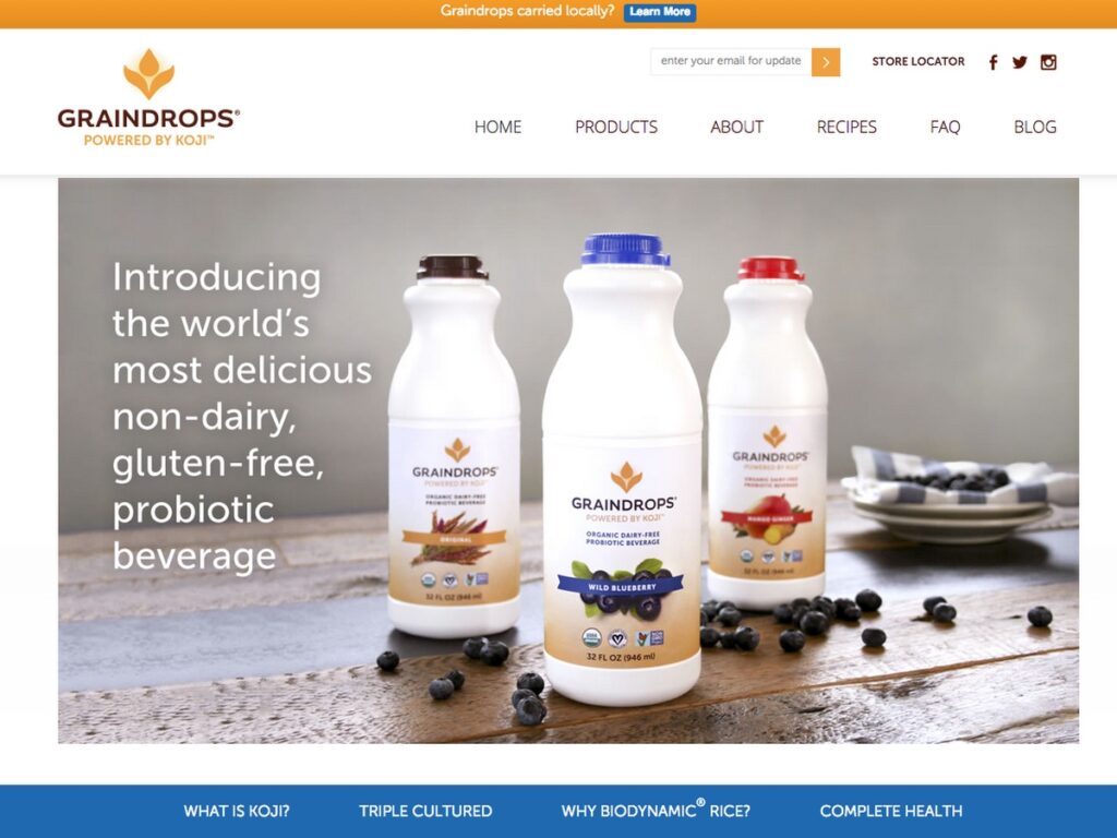
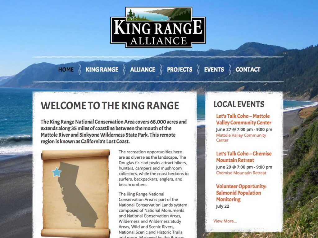
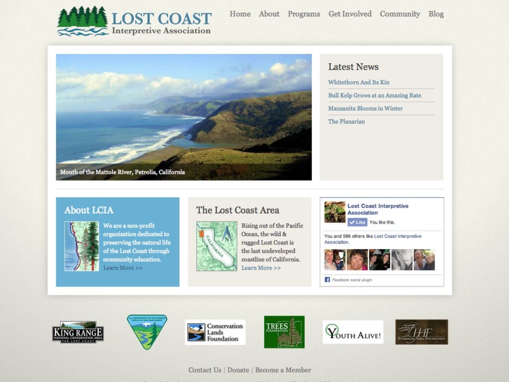
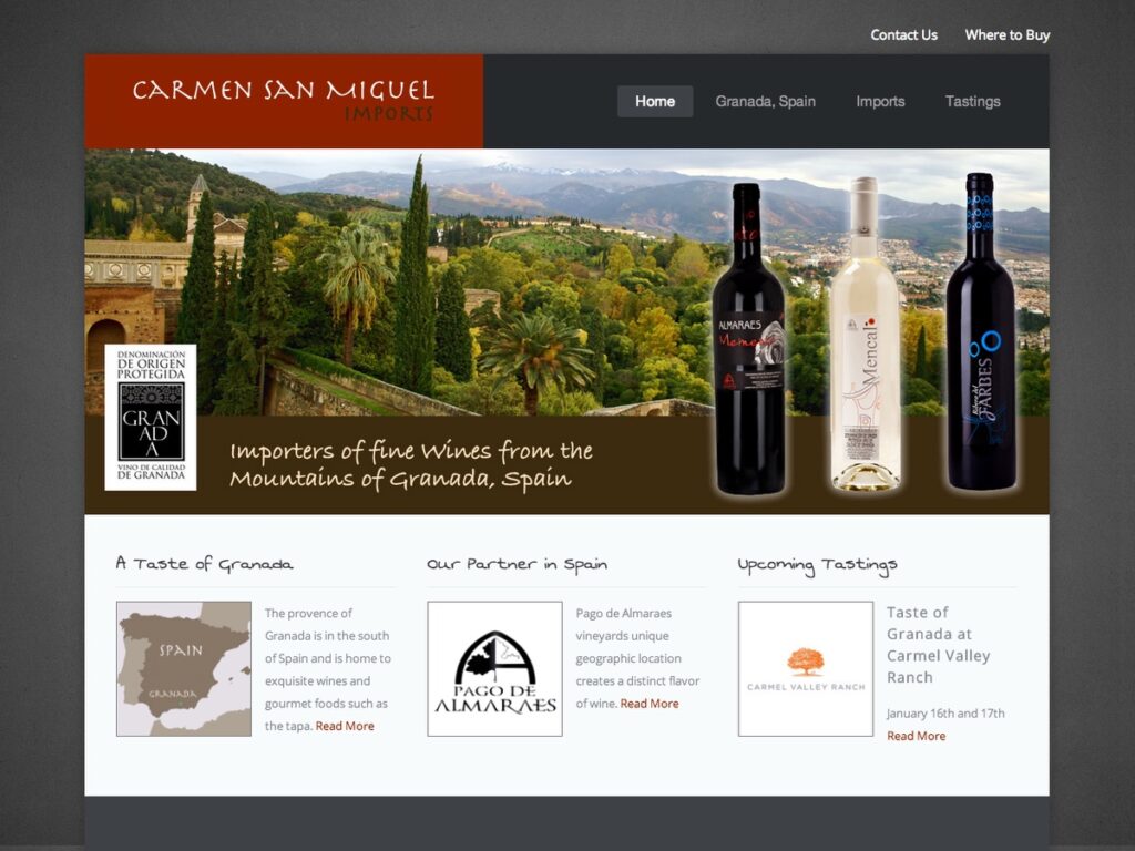
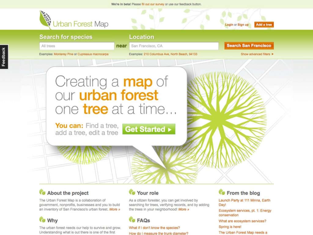
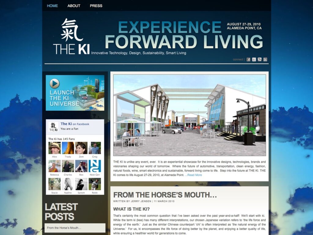
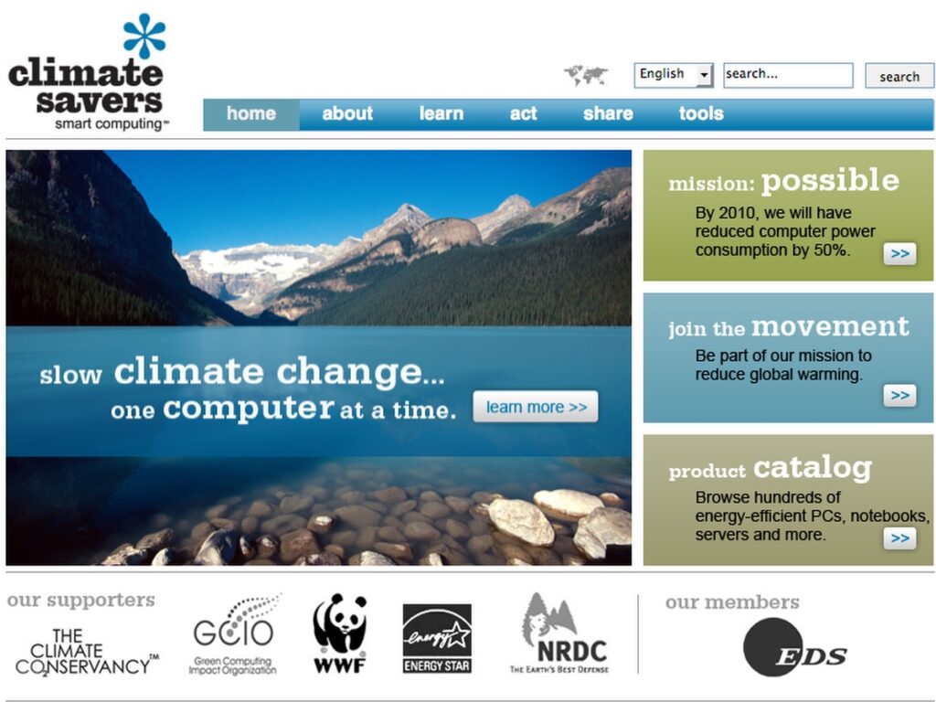
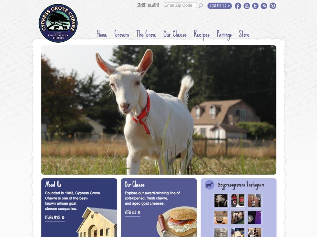
Below are screenshots of many of the websites designed and developed by Earthsite.